Carnac - Circuit de Cloucarnac
Carnac
Place de l'Église
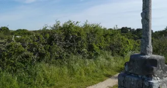
56340 CarnacDuration : 1 hourDistance : 5kmDifficulty level: Easy Yellow markup n°3 - All year round This short hike allows you to discover the old villages of the town and their historical heritage. Departure: At the start of this hike, visit the Saint-Cornély church. Built in the 17th century, this building is one of the most beautiful religious monuments of the Renaissance style in Morbihan. Dedicated to Saint Cornely, protector of horned animals, the church has a granite canopy overhanging the unique north porch in Brittany.Step by step : 1) Go down the lane, leaving the church on the right and take Rue de Colary on the left. Leaving the town, walk along cultivated fields and meadows to reach the Croix de Kergouellec, a carved granite cross dated 1854.2) Then direction Beaumer, passing in front of the Kergouellec pond. At the heart of this very old village is a dolmen.This tomb, called "Er Mané", dates from the Neolithic period (between 7,000 and 4,500 years before today). It has been classified as a Historic Monument since 1929. The cover slab is decorated with small circular cavities called “cupules”.3) Follow the direction of Kerfraval and Montauban to finally take the old Roman road which leads to Cloucarnac. This old village has been modified over the years by the construction of contemporary houses or the restoration of old farms. Return to the tourist office by the path taken on the outward journey.
Find this route on the Loopi mobile app
Scan the QR code, save it as a favorite, or start the guidance, just enjoy!
Scan the QR code, save it as a favorite, or start the guidance, just enjoy!
Road surfaces
90 m on asphalt or tarred road
3.13 km on unknown surface in the Open Street Map database
38 m on rolling path (compacted sand, gravel, cobblestones)
1.84 km on trail and off-road track
This route is provided by: Office de tourisme de la Baie de Quiberon
Be cautious and prepared during your outings. Loopi and the author of this sheet cannot be held responsible for any problems that occur on this route.


