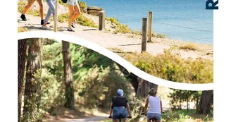
Landévant - Circuit du Listoir
Landévant
21 Mane Craping
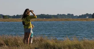
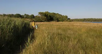
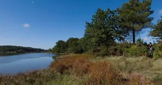
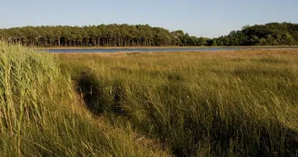
56690 LandévantDuration : 1h30 Distance : 6 km Difficulty level: Easy Yellow markup All year long (Avoid rainy periods, wetlands) Pointe du Listoir is the birthplace of Étel River. Rich in marine organisms, this area is an ornithological site. Departure: From the forest road created by the ONF, go to the small car park (1st road on the right, 30 m after the restaurant). Then follow the path and turn left (straight: return to the car park). 1 Continue the path following the path surrounded by maritime pines. Passage of the forest to moors then swamps. Ornithological site: silence and discretion are essential to respect this place. 2 At the fork in the road, turn right towards Étel estuary. 3 1st footbridge: follow the path along the Étel estuary. Point of view on the opposite bank:steeple of the chapel of Legevin (Nostang commune). Warning: part of wet course. 4 Arrive at the Pointe du Listoir. Rich in marine organisms (worms, shells, shrimps ...), the ornithological site of the Pointe du Listoir (sensitive area) hosts the main concentrations of birds in the Étel river. In addition to abundant food, they find the visibility necessary for their safety. Silence and discretion are needed to respect this place. 5 Passage near the Moulin de la Demi-Ville. The house and the mill (private property) were built with the stones of the former manor house of the Half-City. The mill has a wheel 6 m in diameter. The Half-City is one of the seigneuries present on the parish since the 13th century. Out of more than 2,500 mills recorded in the nineteenth century in Morbihan, there remains only about forty in operation. The density of the mills was high in this department since one could count up to twenty per commune. Opposite, on the other side, view of the commune of Landaul. 6 Climb the path, cross the road and immediately take the path to the left. 7 At 600 m, turn right. Go back up the path to the starting point.
Find this route on the Loopi mobile app
Scan the QR code, save it as a favorite, or start the guidance, just enjoy!
Scan the QR code, save it as a favorite, or start the guidance, just enjoy!
Road surfaces
2.58 km on unknown surface in the Open Street Map database
2.01 km on rolling path (compacted sand, gravel, cobblestones)
1.44 km on trail and off-road track
This route is provided by: Office de tourisme de la Baie de Quiberon
Be cautious and prepared during your outings. Loopi and the author of this sheet cannot be held responsible for any problems that occur on this route.

